
Not every Gamnaetgil-network walk is just two friends out for the day — this one, Yolo Course 2 along the “Secret Coffee Road” stretch near Gijang, was a joint walk organized with a local group for the deaf and hard of hearing community, complete with a sign language interpreter walking alongside the guide. My friend Jiwoo and I joined as regular participants, curious what a guided accessible walk looks like in practice.
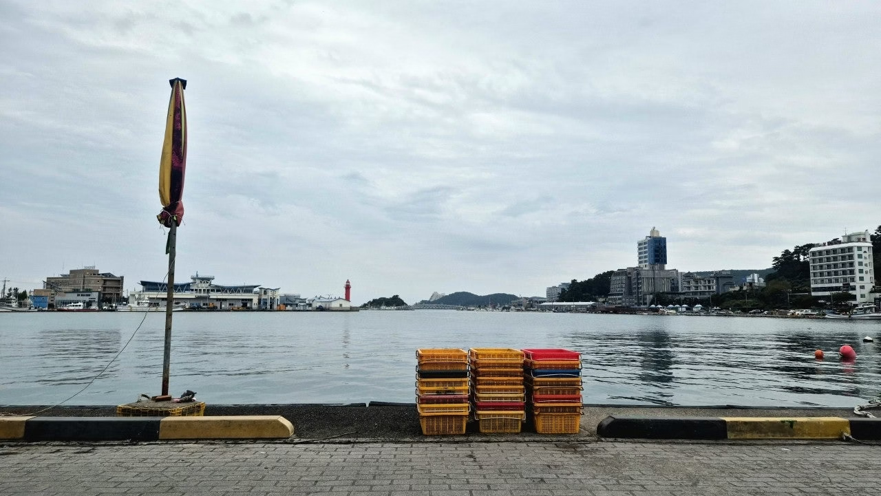
We met at Daebyeon Port’s Anchovy Theme Square, usually one of the busier fishing harbors on this stretch of coast, but unusually quiet and still that morning — a calm, almost contemplative start before the group of hearing and deaf walkers gathered together.
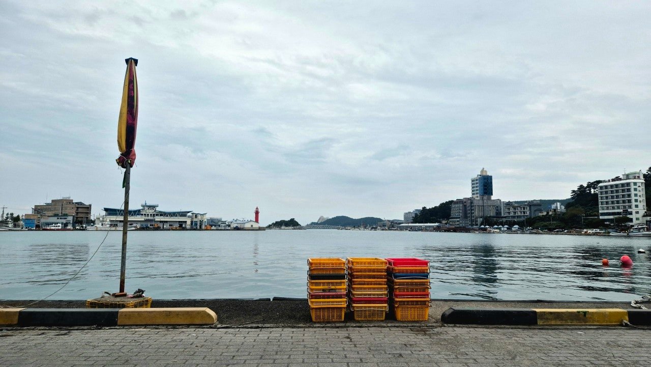
Daebyeon Port, unusually quiet on the morning our walk began.
Route waypoints
Sign language greetings and a group photo
Before setting off, the walk’s lead guide explained the day’s route through a sign language interpreter, and the whole group posed for a start-of-walk photo in front of a silver anchovy sculpture near the harbor. Throughout the walk, whenever the guide stopped to explain something, the interpreter translated in real time — a rhythm that gave the whole day a noticeably slower, more deliberate pace than our usual walks, in the best way.
Past the fish market and into Seoam Port
The route took us past Daebyeon’s dried squid and cutfish displays at the fish market, glossy and neatly arranged, before a stretch along a narrow, traffic-heavy road that needed some care. We passed a row of red, yellow, and white lighthouses at the harbor mouth before entering Seoam Port, where our subgroup met another team of walkers coming through and stopped for a quick shared sign-language lesson and a group photo by the harbor’s small “baby bottle” lighthouse — a local photo spot that’s exactly as literal as it sounds.
Orangdae Park and the sea-shrine cliffs
Along Gijang’s coastal road, wind picking up off the water, we passed Haegwangsa Temple before reaching Orangdae Park for a rest stop — snacks, a bathroom break, and views out over one of the more striking stretches of coastline on this route. To one side stood Yongwangdan, a small prayer shrine maintained by the temple and dedicated to the Dragon King said to guard Busan’s eastern waters — reportedly the only sea-level Buddhist shrine of its kind in the country. On the other side, a weathered rock formation that, from the right angle, looks remarkably like a dragon’s head.

The dramatic coastline at Orangdae Park, a natural rest stop midway through the walk.
The waffle truck at Dongam Port
Past Orangdae, the trail entered the Osiria Coastal Promenade, Ananti Cove’s distinctive resort architecture visible across the water, small stone cairns stacked here and there along the path like informal roadside art. Near the entrance to Dongam Port, we stopped at a food truck selling waffles — run, we learned, entirely by members of the deaf community, one of a small number of food licenses in the area specifically reserved for them. It was a detail neither of us had known before that morning, and it turned a snack break into one of the more memorable stops of the day.
Yonggungsa and the final stretch to Songjeong
The route continued past Yonggungsa Temple, its clifftop setting drawing a steady stream of visitors even on a relatively quiet day, small stacked stone towers scattered along the approach. From there it was a straightforward run down through Gongsu Port and along Gongsu’s coastal road, the final stretch of open water views before the trail wrapped up at Songjeong Port.
Trail info at a glance
- Distance: approx. 8.5–9 km
- Walking time: about 3 hours, average pace 3.4 km/h
- Difficulty: Easy, flat coastal walking with one narrow, traffic-adjacent stretch near Daebyeon
- Start: Daebyeon Port, Anchovy Theme Square
- Finish: Songjeong Port
- Highlights: Orangdae Park, Yongwangdan shrine, Yonggungsa Temple, Osiria Coastal Promenade
Map of the route
The route at a glance
A few practical notes
If you’re ever in Gijang and see a group walk organized with a sign language interpreter, it’s worth knowing these accessible community walks happen fairly regularly along this stretch of coast — a nice reminder that these trails are genuinely built for everyone. The road near Daebyeon Port has real traffic and a narrow sidewalk, so keep an eye out there regardless of which day you walk it. Yonggungsa gets crowded, so an early start helps if you want a calmer visit.
For bus routes around Gijang and Songjeong, see our guide to getting around Busan.
Walked in late October on a quiet, overcast morning, as part of a joint accessible community walk with sign language interpretation.
More walks nearby
Other walks in Gijang and the east coast on this site: