
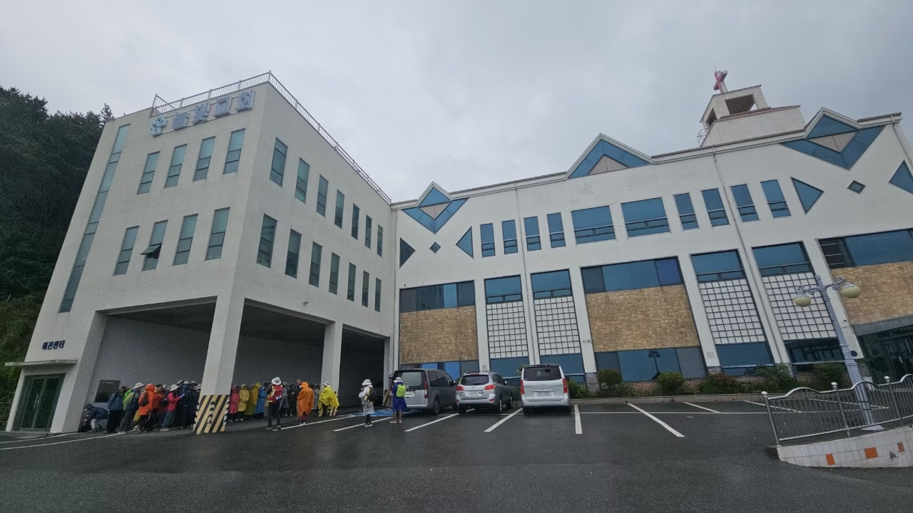
We should have checked the forecast more carefully. Course 6 turned into our first proper rain walk together, and honestly, it ended up being one of the more memorable outings — there’s something about grey skies that suits a route built around a war memorial and an old quarantine village more than clear blue ones would have.
Doyoon and I met at Neulbit Church on a hillside above Yongho-dong, where a small crowd of hikers in ponchos had gathered under the building’s covered entrance to wait out the worst of the downpour before starting.
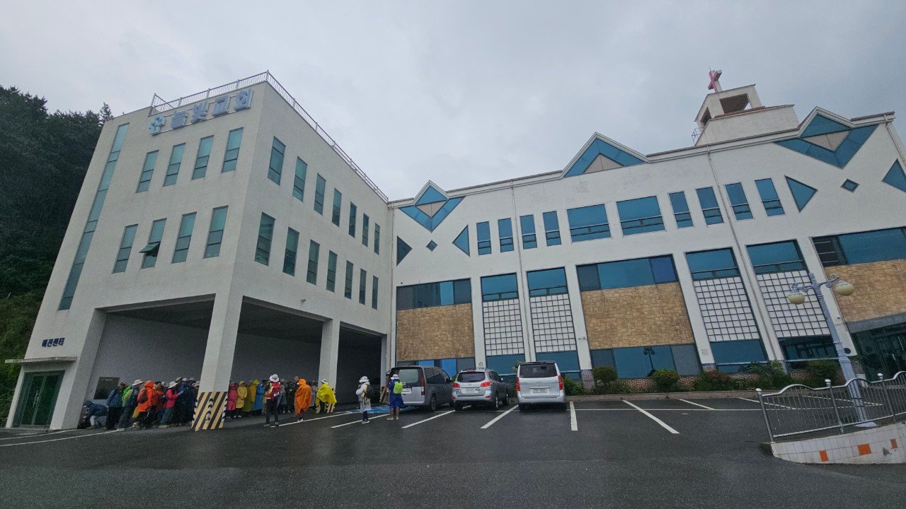
Waiting out the rain at Neulbit Church before setting off.
Route order
Down to the coast and UN Peace Park
The trail descends from the church toward the coast, passing through Mujedeung Park before opening onto sea views along Yongdang’s container terminal — an unglamorous but genuinely interesting stretch, since it’s one of the few places on Gamnaetgil where the trail runs directly alongside Busan’s working port infrastructure.
From there we reached UN Peace Park (formerly the UN Memorial Cemetery grounds), home to a memorial honoring the international forces who died during the Korean War, along with a statue of General Richard Whitcomb — remembered locally for organizing emergency relief after a devastating 1953 fire left tens of thousands of refugees homeless near Busan Station. The grounds were quiet in the rain, which somehow suited the mood of the place more than sunshine would have.
Somak Village’s old quarantine buildings
The walk continues past Busan Culture Center to Somak Village, a small neighborhood whose name literally means “cattle building” — a legacy of the Japanese colonial period, when the area housed cattle quarantine facilities before livestock were shipped to Japan. Some of the old barn structures survive, now repurposed as a small exhibition space with historical photos, and a mural project has added color to what was otherwise a fairly utilitarian corner of the city.
Finishing through Munhyeon’s gopchang alley
The last stretch runs through Munhyeon-dong’s famous gopchang (grilled beef and pork intestine) alley — a strip of restaurants that’s been a local institution for generations, even if only about half the original shops remain in that specific trade today. Wet and hungry by this point, we seriously considered stopping, but pushed on to the finish at Yeongga-dae instead, a historic site linked to Joseon-era diplomatic missions to Japan.
Trail info at a glance
- Distance: approx. 11 km
- Walking time: 3.5–4 hours
- Difficulty: Easy, mostly flat urban and coastal walking
- Start: Neulbit Church, Yongho-dong
- Finish: Yeongga-dae
- Highlights: UN Peace Park, Somak Village’s colonial-era history, Munhyeon’s gopchang alley for a post-walk meal
Map of the route
The route at a glance
A few practical notes
This course works fine in the rain if you’re prepared for it — most of the route is paved road and park paths rather than exposed trail, and UN Peace Park in particular felt appropriately contemplative under grey skies. If you finish hungry, Munhyeon’s gopchang alley near the end is a legitimate destination in its own right, not just a route marker.
For bus and subway connections around Yongho-dong and Munhyeon, see our guide to getting around Busan.
Walked in late May in steady rain — our first genuinely wet Gamnaetgil outing.
More walks nearby
Other walks in Gwangalli, Igidae and Oryukdo on this site: