
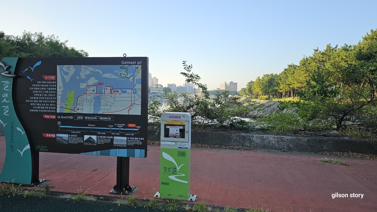
My friend Minji had been asking me for weeks to try one of the Gamnaetgil (갈맷길) trails – the loop of coastal and riverside paths that circles Busan for roughly “700 li,” the old-style measurement that works out to around 280 kilometers in total. Neither of us had the stamina (or the time) to think about the whole loop, so we picked a single, manageable piece: Course 5-1, a flat 14-kilometer stretch that follows the Nakdong River from Hadan Station out to the sea at Sinho Port.
We met at Hadan Station on Busan Metro Line 1 a little after nine in the morning, coffee in hand, the kind of hazy late-summer heat still hanging over the city even though the calendar said autumn was close. From the station it’s a short walk to the Nakdong River Estuary Barrage, and that’s where the actual trail – and the first stamp booth for hikers collecting the full Gamnaetgil stamp book – begins.
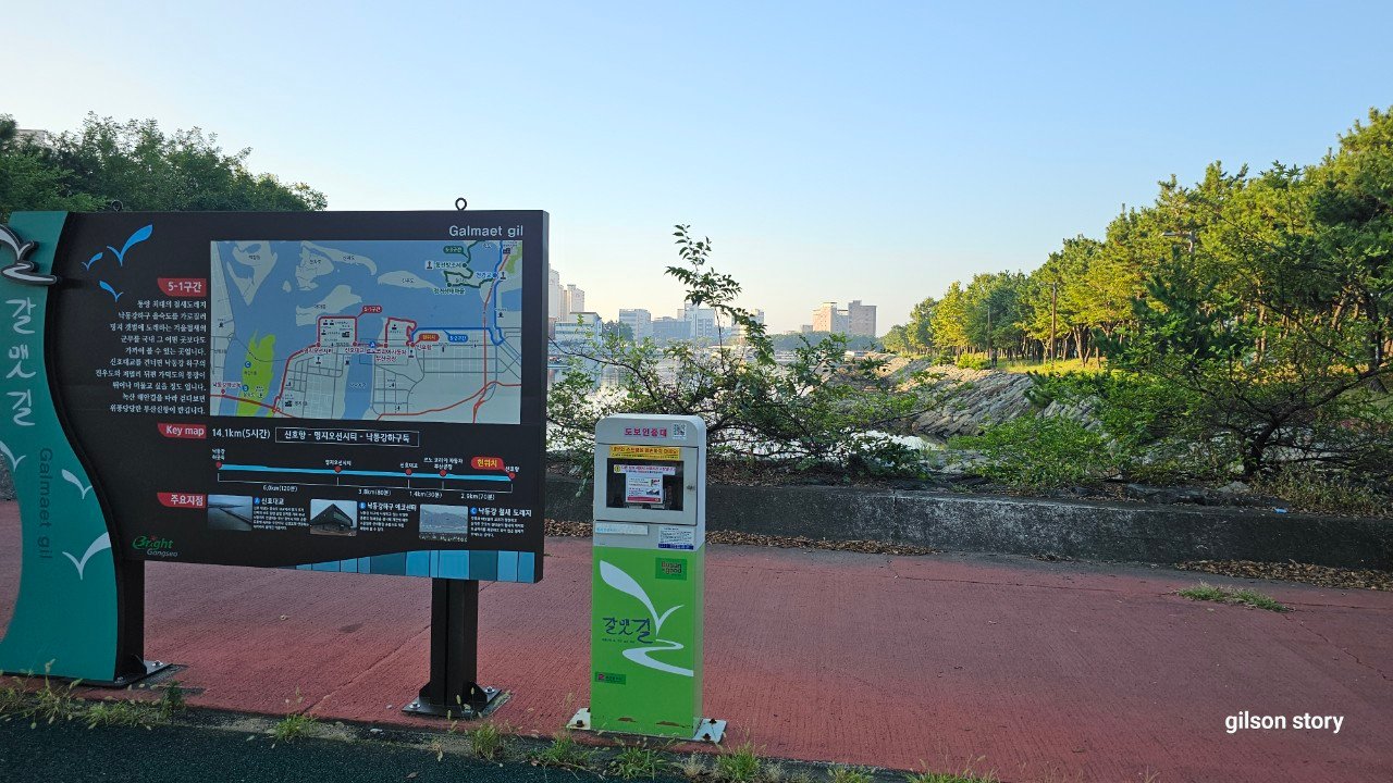
The Nakdong River Estuary Barrage – the official start of Course 5-1.
Route order
From the barrage to Eulsukdo
The path hugs the river the entire way, which makes it one of the easiest Gamnaetgil sections to navigate – there’s really no way to get lost. Within the first kilometer we crossed a small wooden footbridge with a view back toward Seungnak Mountain, then passed a stone lion statue that locals apparently call the “guardian of the barrage.” A pair of bird observation decks sit just past the second floodgate, and even in September, before the big winter migrations, we spotted a handful of egrets picking through the shallows.
We stopped for a few minutes at a shaded rest area near the entrance to Maekdo Ecological Park, more to escape the sun than out of real fatigue – the trail itself is almost entirely flat, paved or packed dirt, and shaded in patches by riverside trees. A short cycling tunnel connects this stretch to the next, its inside walls painted with murals of reeds and waterfowl, the kind of small detail that makes a “just walk in a straight line for a while” trail feel less monotonous.
Sinmyeongji, cafés, and the long straightaway
By the time we reached Sinmyeongji, the newer riverside neighborhood roughly halfway along the route, we’d earned a real break. There’s a small strip of cafés facing the water here, and we sat outside with iced coffee watching cyclists pass in both directions – this section of the Nakdong riverbank is popular with Busan’s cycling crowd, so expect to share the path.
Past Sinmyeongji, the trail runs beneath the Eulsukdo Bridge and then settles into a long, open straightaway lined with pampas grass that was just beginning to turn silver-gold for the season. Someone had laid out a short barefoot walking path in the dirt beside the paved trail – Minji tried it for about thirty meters before deciding her sandals were doing a perfectly good job already.
Daemadeung and the final stretch to Sinho Port
The last few kilometers open up noticeably. From the sandbar area known as Daemadeung you can see Gadeokdo island and the peak of Yeondaebong across the water, along with the cranes of the new port complex on the horizon – a reminder that this quiet river walk eventually meets one of the busiest shipping regions in the country. We passed the site of the old Myeongji salt fields, now mostly reclaimed, where salt and melons used to be the area’s main products before the land was developed.
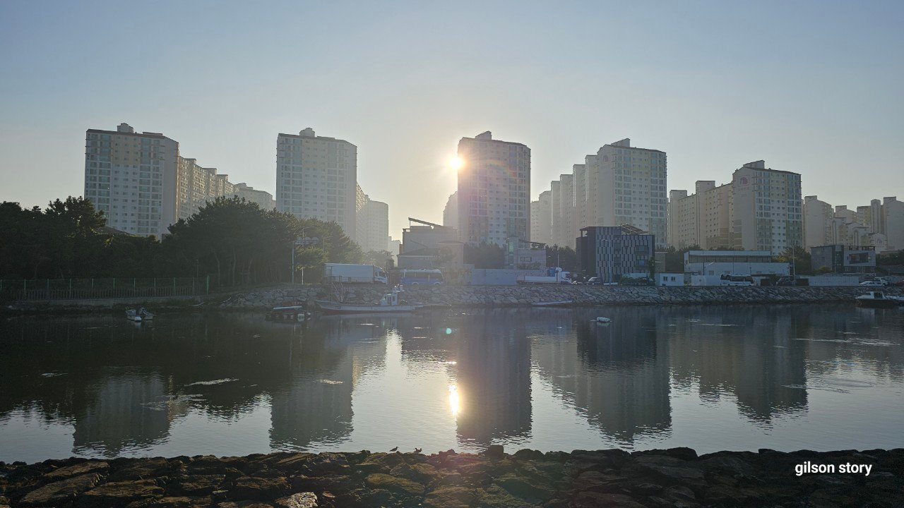
Sinho Port and the apartment blocks marking the end of Course 5-1.
Sodam Park, right by Sinho Port, is the official finish line, and honestly by the time we got there we were both ready to sit down. All in, the walk took us about four and a half hours including stops, which lines up almost exactly with the official estimate for this course – we weren’t rushing, but we weren’t dawdling either, just an easy pace with a friend and no particular deadline.
Trail info at a glance
- Distance: approx. 14 km
- Walking time: 4–4.5 hours at a relaxed pace
- Difficulty: Easy – flat riverside path, minimal elevation change
- Start: Hadan Station (Busan Metro Line 1) → Nakdong River Estuary Barrage
- Finish: Sodam Park / Sinho Port
- Best season: Spring and autumn – there’s very little shade on the open riverside sections, so summer midday walks are tough
- Good for: a first Gamnaetgil outing, casual walkers, anyone who wants river views without hills
Map of the route
Course 5-1 route
A few practical notes
There’s no real shade for long stretches of this route, so we were both glad we’d brought hats and refilled our water bottles at the rest area near Maekdo Park – after that, options thin out until you’re closer to Sinmyeongji. If you’re doing the official Gamnaetgil stamp tour, the stamp booths are at the barrage (start), the midpoint near the ecological trail, and Sodam Park (finish); bring your stamp book or use the Gamnaetgil app if you want the record.
If you’d rather stay on the river instead of turning toward Gadeokdo, Gamnaetgil also runs north from Hadan through Samnak Ecological Park — see Course 6-1: Hadan to Gupo Through Silver Grass Season.
Getting back is easy either way – Sinho Port has bus connections back toward central Busan, or you can simply retrace your steps if you left a car at Hadan. If you’re building out a longer Busan itinerary around trails like this one, our guide to getting around Busan covers how the subway and bus system connects to areas like Hadan and the Nakdong estuary.
Walked in mid-September, with clear skies and lingering summer heat. Distances and timing above are from our own GPS track that day, rather than the official course description.
What This Page Does Not Cover
This page reflects our own research and, where noted, our own visits, on Walking Gamnaetgil Course 5-1: Nakdong Estuary to Sinho Port with a Friend at the time of writing. It does not show every option available, it does not track prices (these change too often to keep accurate here), and it cannot account for individual mobility, budget, or seasonal closures on the day you travel.
What Should You Know Before You Go?
See the sections above for the specifics on Walking Gamnaetgil Course 5-1: Nakdong Estuary to Sinho Port with a Friend; this page is meant as a starting point, not the final word – confirm current hours and conditions directly before you travel.
This section continues on to Gadeokdo Island — see Walking Gamnaetgil Course 5-3: Circling Gadeokdo Island with a Friend for that stretch of the route.
More walks nearby
Other walks in Nakdong River, Gangseo and Gadeokdo on this site: