
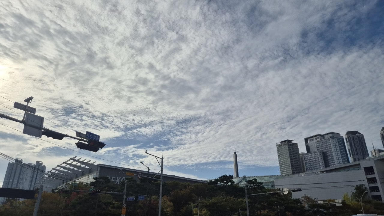
Rain the night before had us worried Course 3 of Haenuri-gil would be a muddy, unpleasant walk, but Busan’s trail maintenance turned out to be better than we’d feared. Areum and I got off near BEXCO station under one of those dramatic mackerel-scale cloud skies that only really shows up in late October, and headed off toward Woo2-dong to pick up where Course 2 had left off.
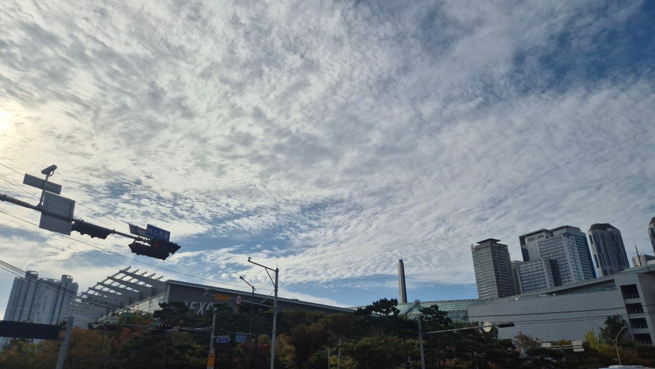
The sky over BEXCO station on the morning of our walk — clear enough by start time to put the earlier rain worries to rest.
Route waypoints
Starting from Semo Park
Course 3 begins at a small triangular park in front of the Woo2-dong community welfare center — locals call it Semo Park for its distinctive shape — a modest, unassuming starting point for a walk that turned out to have more variety packed into seven kilometers than we expected. The trail had drained well overnight, and aside from a few puddles near the park entrance, conditions were fine.
Jaesong Small Park and the climb to Jangsan
The route continues through Jaesong Small Park, a quiet residential green space, before starting a gradual climb toward Jangsan Nuri-gil — a forested trail along the lower slopes of Jangsan, Haeundae’s signature mountain. The climb is gentle by Busan hiking standards, more of a steady incline through pine and mixed forest than anything technical, but it’s enough to shift the walk’s whole character from urban park to genuine woodland trail.
Jangsan itself has a complicated history — it was used as a military site for decades and only fully opened to public hiking relatively recently, which locals we passed mentioned gives some of its trails a slightly wilder, less manicured feel than Busan’s more established mountain parks.
Down to Chorok Park
The trail descends from the forest into Chorok Park (“Green Park”), a well-maintained neighborhood park that serves as the course’s finish line. After the climb through Jangsan Nuri-gil, the flat, landscaped grounds of Chorok Park felt like a deliberate cooldown — benches, walking paths, and enough open lawn for a proper stretch before heading home.
Trail info at a glance
- Distance: approx. 7 km
- Walking time: 2–2.5 hours
- Difficulty: Easy to moderate — a gradual forest climb through Jangsan Nuri-gil
- Start: Semo Park, in front of Woo2-dong community welfare center
- Finish: Chorok Park
- Best season: Autumn for clear skies and cooler forest walking temperatures
Map of the route
The route at a glance
A few practical notes
Trail drainage on this route is genuinely good, so don’t let a rainy forecast the day before put you off — conditions were fine for us within about twelve hours of steady rain. Jangsan Nuri-gil’s forest sections have less signage than Busan’s more established trails, so a downloaded map is worth having. BEXCO station makes for an easy public transit connection to the start.
For subway routes to BEXCO and Haeundae, see our guide to getting around Busan.
Walked in late October, the morning after overnight rain, under a clear and dramatically clouded sky.
More walks nearby
Other walks in Gijang and the east coast on this site: