
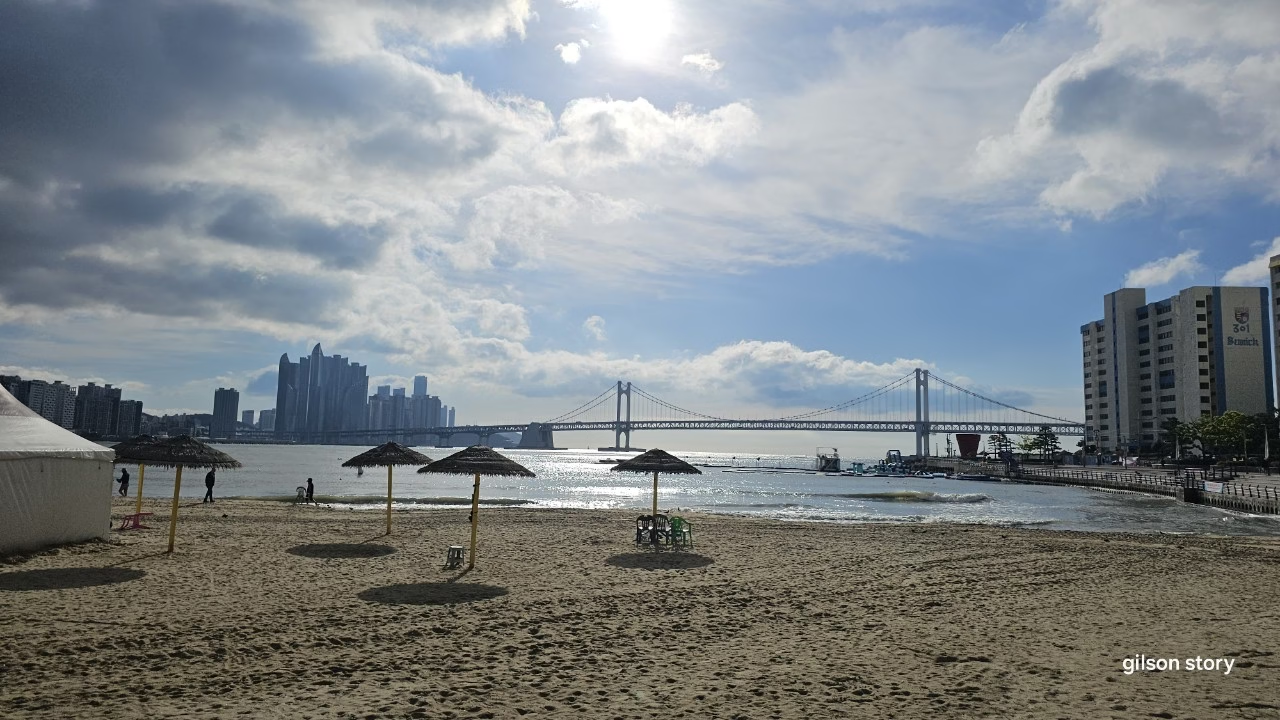
May in Busan means flower festivals, and Course 5 starts right in the middle of one. My friend Hana and I met at Namcheon, at the western end of Gwangalli Beach, where a temporary barley field and flower garden had been planted for the season, complete with a thatched-roof hut straight out of an old countryside scene, oddly framed by high-rise motels and neon signs in the background.
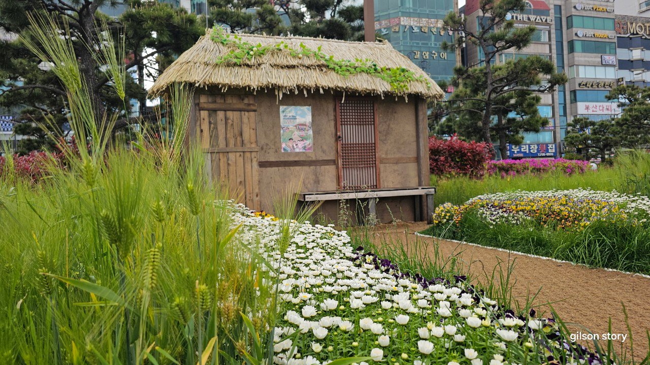
The seasonal barley field and thatched hut display at Namcheon.
Route order
Gwangalli Beach and Gwangan Bridge
From Namcheon the trail runs the length of Gwangalli Beach, arguably Busan’s most photogenic urban beach thanks to Gwangan Bridge stretching across the bay behind it. We caught it under a mix of sun and heavy cloud, the light shifting every few minutes, and stopped more than once just to watch the waves roll in with the bridge as a backdrop.
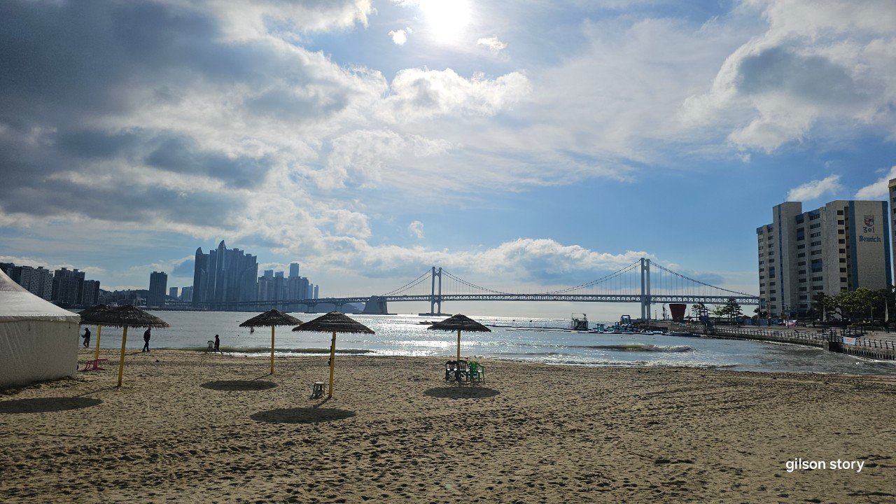
Gwangalli Beach, with straw umbrellas set up for the season and Gwangan Bridge behind.
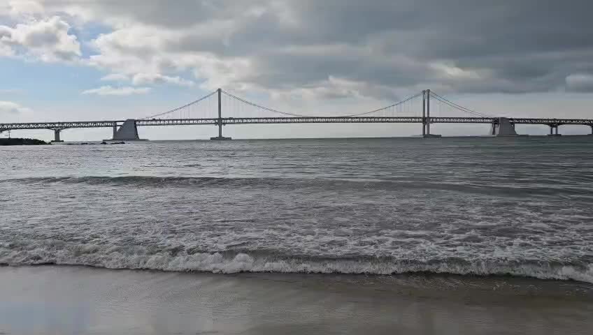
A closer look at Gwangan Bridge from the shore.
Yongho Byeolbit Park to Igidae
Past the beach, the trail climbs gently into Yongho Byeolbit Park, a coastal park known for its night lighting installations — worth knowing about if you ever want to walk this route after dark instead. From there the path enters Igidae, one of Busan’s best coastal walking areas, a rugged stretch of rock and pine forest hugging the cliffs above the sea.
Igidae’s name carries a somber legend — according to local history, a gisaeng (entertainer) during the 1592 Japanese invasion lured an enemy general to this cliff and leapt into the sea with him rather than let him live. The trail through here alternates between forest path and open rock, with regular viewpoints back toward Haeundae and Gwangalli across the water.
On to Oryukdo
The trail eventually descends to Eoulmadang, a rest area with tidal pools, before continuing to Nongbawi Rock and finishing near Oryukdo — the “five-six islands” that mark one of Busan’s most recognizable coastal landmarks, visible from the trail’s final stretch. We finished at the Oryukdo Skywalk, tired legs and salt air making for a good excuse to sit for a while before heading back into the city.
Trail info at a glance
- Distance: approx. 10 km
- Walking time: 3–3.5 hours
- Difficulty: Easy to moderate — mostly flat, with uneven rocky sections through Igidae
- Start: Namcheon, western end of Gwangalli Beach
- Finish: Oryukdo Skywalk
- Best season: Spring for the seasonal flower displays at Namcheon; year-round for the Igidae coastal walk
Map of the route
The route at a glance
A few practical notes
Igidae’s rocky sections can be slippery after rain, so check conditions if the weather’s been wet. This course connects two of Busan’s most scenic beach areas with one of its best cliff walks, making it a strong choice if you only have time for one Gamnaetgil section during a short visit. Oryukdo Skywalk, at the finish, has bus connections back toward the city center.
For getting to Gwangalli and Oryukdo by public transport, see our guide to getting around Busan.
Walked in early May, with shifting sun and cloud that changed the light over Gwangalli every few minutes.
More walks nearby
Other walks in Gwangalli, Igidae and Oryukdo on this site:
- An Accessible Walk Through Suyeong Historic Park and F1963
- A Moonlight Walk on Haeparang Trail Course 1 from Oryukdo
For the sights along this route, see our Gwangalli Beach Busan Guide: Explore the Best of the Coast.