
Busan’s other long coastal trail, Haeparang, starts at exactly the spot where Gamnaetgil’s Course 5 ends, at Oryukdo, and heads the opposite way: north along the coast toward Ulsan and eventually Gangwon-do. I walked its first section three times this year. The first was in April, on opening day of a ten-session walking series called “The Beginning: Nam-gu,” with my friend Doyoon, the morning after a night of rain. I came back in late July for the series’ fifth session, timed for sunset. And in late July I also walked it as a moonlight walk with my friend Seoyeon, mostly to escape a week of relentless daytime heat. All three walks started at Oryukdo Skywalk. They ended in different places, so the distances below differ.
Route waypoints
April: opening day of “The Beginning: Nam-gu” after the rain
Rain had fallen most of the night before, and Doyoon and I weren’t sure the skies would cooperate. By 10am, when close to 150 participants split into seven groups gathered for the opening ceremony, the clouds had thinned enough for the walk to go ahead.
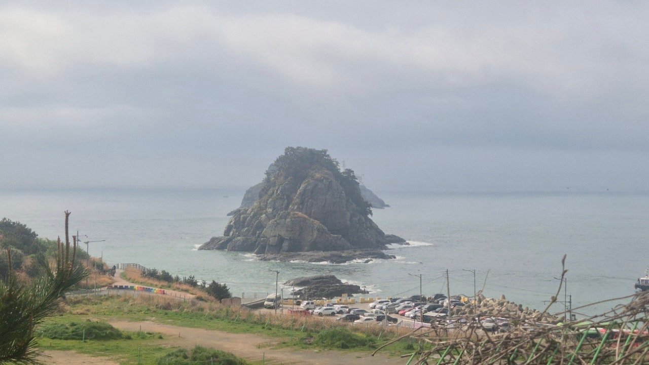
Oryukdo’s rock formation under low clouds, just after the morning rain cleared.
Route waypoints
An unexpected reroute
We joined Group 5, a comfortable fifteen people, and set off from Oryukdo Skywalk after stamping our Haeparang Trail passports. With 150 people moving through the same stretch at once, the group leaders kept everyone carefully spaced on the uphill sections. Partway through, an announcement came: deck repair work on Igidae’s coastal boardwalk meant we would be rerouted onto the circular inland road instead of the coastal path most of us had come to see.
For a session billed as a “Coastal Scenery Walk,” that was a real disappointment, and more than one person in the group had been looking forward to that exact stretch. The detour had one small reward. We stopped at Yuhajeong Pavilion in Keungogae Waterside Park, a spot regular walkers on this trail rarely have a reason to enter, read the poetry engraved in the pavilion and rested in a space sized almost perfectly for a group of fifteen.
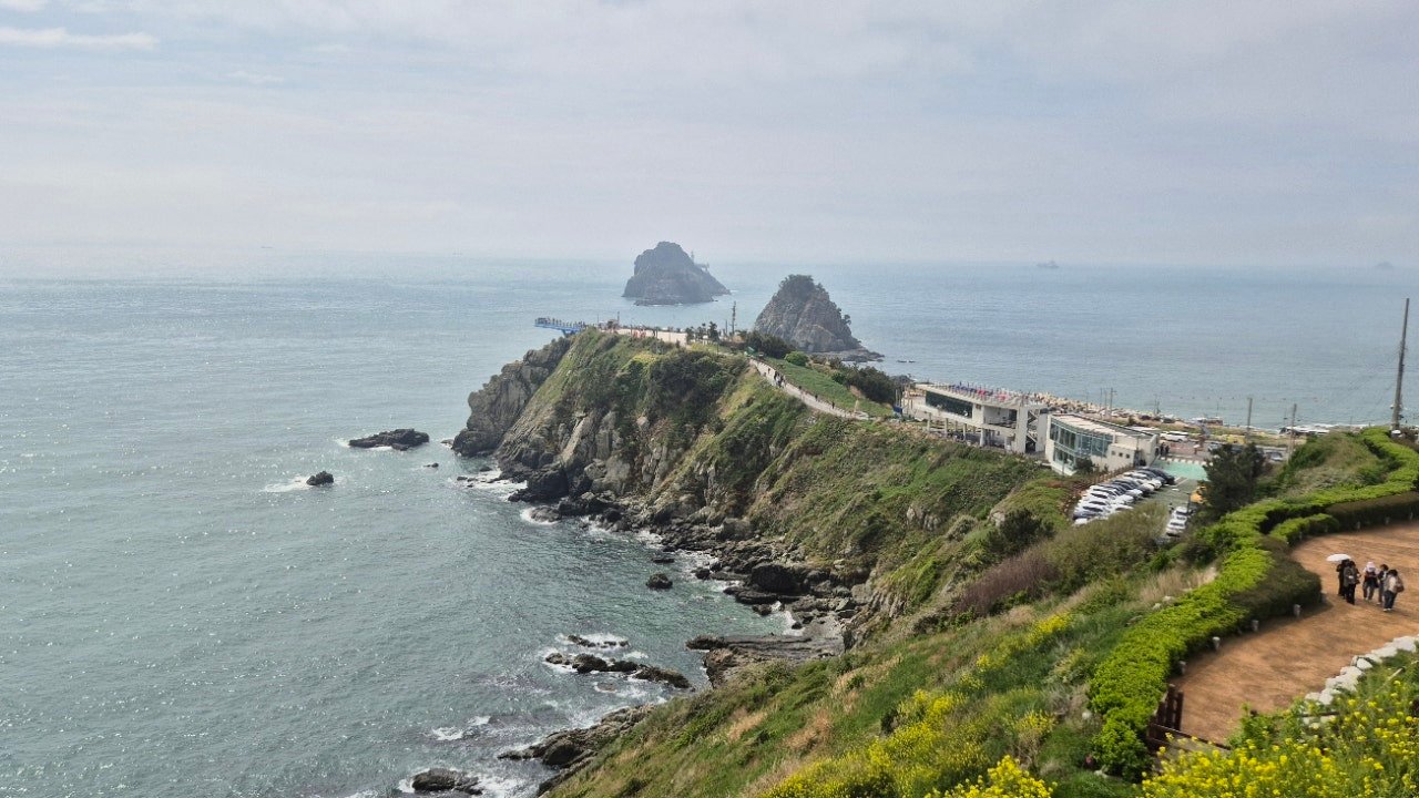
The dramatic cliff edge near Oryukdo Skywalk, where the walk began.
Igidae Observatory, the sea cave and the suspension bridge
Even on the rerouted path, the trail comes close enough to the coast in places to give real views. At Igidae Observatory, cloud banks over Haeundae’s high-rises made a striking skyline even without direct sun, and our group leader paused wherever the sea came into clear view so the reroute wouldn’t erase the walk’s coastal character.
Past the observatory, the trail led down to a sea cave carved into Igidae’s cliffs, a short detour off the main path where we had to wait for the group ahead to finish exploring. From there a suspension bridge crossed a narrow gap in the cliffs. It swayed noticeably once enough people were on it, everyone stopped at the sight of the drop below, and several people chose to record video rather than try for a still photo.
Dongsaengmal and the finish at Yongho
Many in the group agreed the most scenic stretch of the route came just before Dongsaengmal Observatory, where everyone paused to look back at the path behind us before a group photo. The walk finished at Yongho Byeolbit Park with a closing meeting, a survey and a small commemorative badge, the first of ten sessions over the following months.
Walked in April on opening day of a ten-session coastal walking series, just after overnight rain cleared.
Late July at sunset: the series’ fifth session
Coming back for the fifth installment of “The Beginning: Nam-gu” meant seeing the same coastline in a completely different light. This time the point was catching sunset along the way. Monsoon season was finally behind us, and the evening heat was still heavy despite the hour.
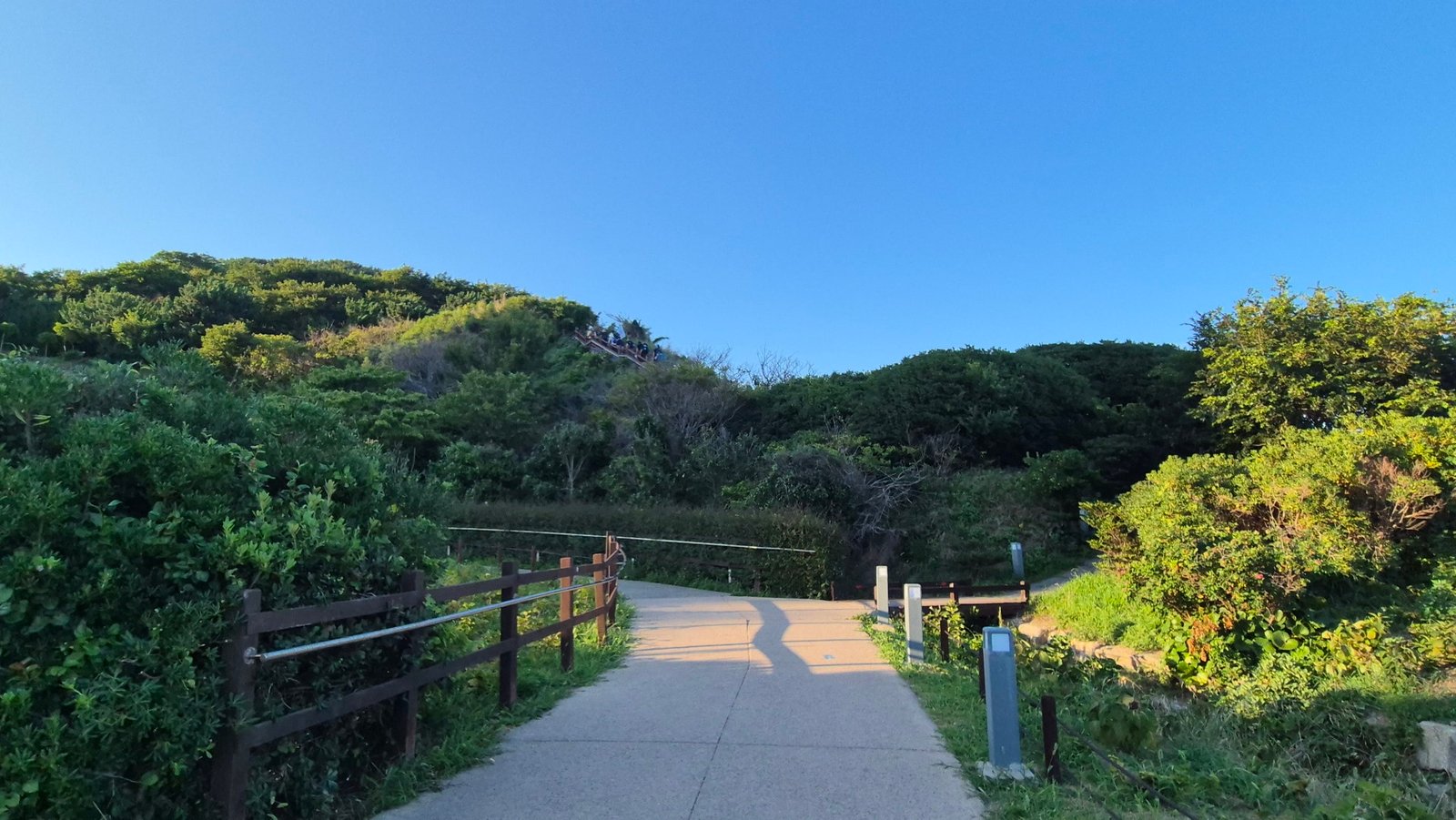
The trail entrance near Oryukdo, golden evening light already settling in as the group set off.
Route waypoints
A new landmark since April
After collecting an insulated bag as the session’s participant gift, our group, Team 3, paused at a newly installed “kiss” sculpture near the start. It hadn’t been there in April. The opening climb felt familiar, but moving at sunset pace, with several other groups spaced ahead of us, gave it a different rhythm from the daytime walk.
Nongbawi and Chimabawi at golden hour
The dirt path gave way to the same deck stairs we remembered, and this time each step up showed the horizon deepening in color. At Chimabawi Observatory, congestion from several groups meant a longer pause than planned. That gave us extra time with the Chimabawi and Batgol-sae rock formations under the changing light, very different from the flatter midday color we’d seen in spring.
Moonrise on one side, sunset on the other
What set this walk apart was the sky doing two things at once: sunset color building on one horizon while a nearly full moon rose on the other, looking fuller at each rest stop. Haeundae’s skyline came into view gradually as the trail wound along the coast, and city lights were starting to compete with the fading daylight by the time we reached the open viewpoints.
Eoulmadang at dusk and the final crossing
At Eoulmadang the group stopped for a proper rest and a stamp check, with Haeundae’s skyline as the backdrop for the evening’s group photo, a different composition from the daytime shot we’d taken there in April. By the time we crossed the suspension bridge toward Dongsaengmal, full darkness had settled in. The group moved carefully in single file, waiting for stragglers before each crossing, and finished at Dongsaengmal Observatory after about 4 km.
Walked in late July at sunset, the fifth session of a ten-part coastal walking series, just after monsoon season eased.
Late July by moonlight: Oryukdo to Yongho Byeolbit Park
For the moonlight walk, Seoyeon and I arrived at Oryukdo Skywalk as the sky was turning the soft orange it gets just before sunset, the stone trail marker glowing warm in the last direct light.
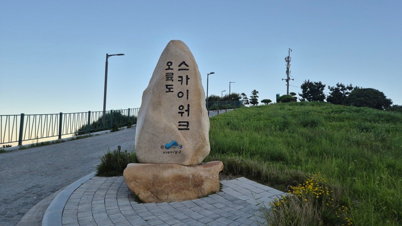
The Oryukdo Skywalk marker at dusk, the starting point of Haeparang Trail Course 1.
Oryukdo at golden hour
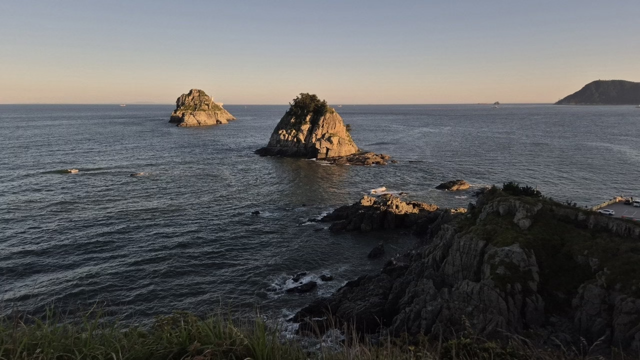
Oryukdo, literally “five-six islands,” is named for the way the number of visible rock formations changes with the tide. In the fading light the rocks caught the gold while the water behind them turned a deep, calm blue. It’s easy to see why this spot anchors two major trail systems.
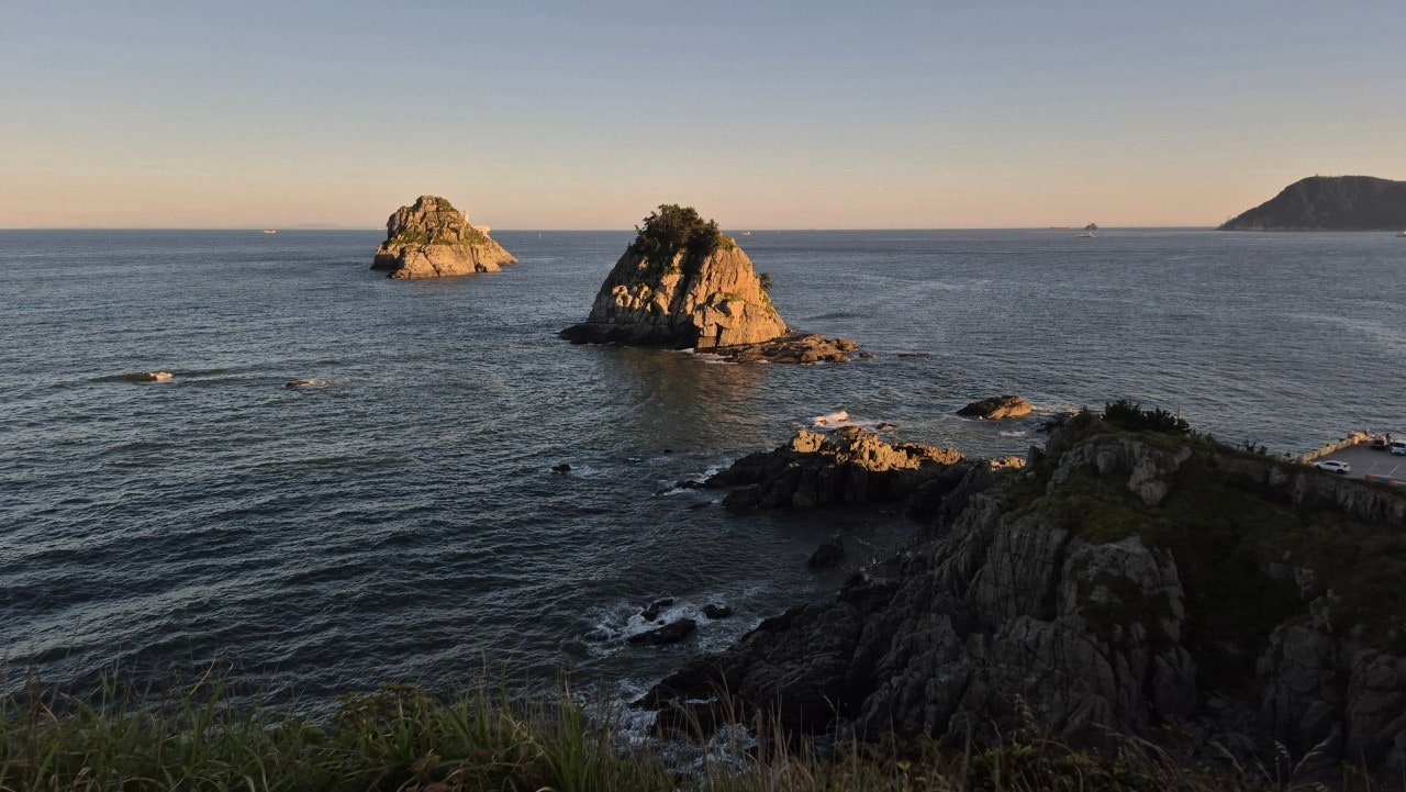
Oryukdo’s rock islands catching the last light of the day.
Along Igidae’s ring road as the light fades
From Oryukdo, this route runs past Oryukdo Elementary School and onto Igidae’s ring road, following the coast toward Dongsaengmal. We were part of a larger walking group split into teams of around fifteen to twenty people each, which is common for these organized evening walks, and we set off just as the streetlights along the route started to come on one by one.
Igidae’s accessible coastal path, built wide and gently graded for wheelchair and stroller access, made for easy, unhurried walking even after full darkness settled in. Conversation came more easily in the cool evening air than it would have under midday sun, and the usual daytime views of Haeundae and Gwangalli across the water became strings of city lights.
Finishing above Yongho Byeolbit Park
We finished near the top of Yongho Byeolbit Park, known for its own light installations after dark, a fitting end to a walk that had been about watching daylight give way to evening. The final stretch through quiet residential streets, crosswalks glowing under streetlights, had a stillness the daytime version of this route doesn’t have. This version came to about 7 km.
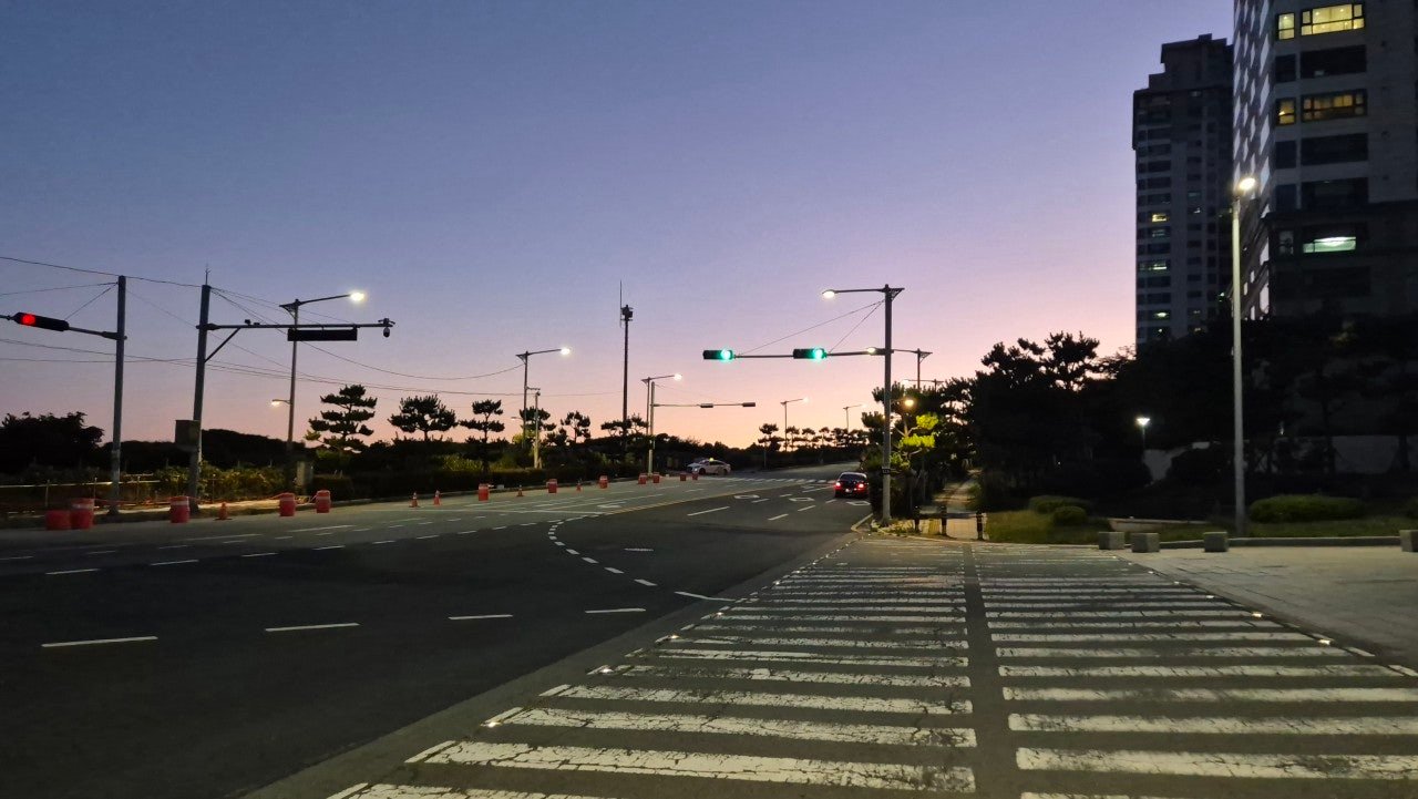
The quiet streets near Yongho Byeolbit Park as the walk finished at dusk.
Walked as an evening/sunset group walk in late July, escaping a week of relentless daytime heat.
Trail info at a glance
- Distance: about 4 km to Dongsaengmal Observatory (the sunset walk); about 5.2-6 km to Yongho Byeolbit Park (the April walk, including the inland reroute); about 7 km to the top of Yongho Byeolbit Park via Oryukdo Elementary School and Igidae’s ring road (the moonlight walk)
- Walking time: about 2 hours at a relaxed sightseeing pace or with photo stops and sunset viewing; 2-2.5 hours for the 7 km version
- Difficulty: Easy to moderate. One moderate initial climb from Oryukdo; deck stairs and uneven deck sections on the coastal stretch toward Dongsaengmal, manageable in low light with care; Igidae’s ring road path is wide, flat and accessible
- Start: Oryukdo Skywalk
- Finish: Dongsaengmal Observatory or Yongho Byeolbit Park
- Highlights: Oryukdo’s rock islands, Chimabawi Observatory, Igidae Observatory, the sea cave, the suspension bridge near Dongsaengmal
- Best time: Sunset to early evening in summer, for both the heat and the light; start roughly 1.5 hours before sunset to catch the full color change along the coast
Map of the route
The route at a glance
A few practical notes
Igidae’s coastal boardwalk occasionally closes for maintenance, as it did on our April walk, so check ahead if the ocean-view stretch is the main reason you’re coming. The sea cave and the suspension bridge are both worth a short wait if a large group is ahead of you.
This section works well at sunset in any season, and in summer an evening start avoids the worst of the heat and humidity. The ring road route is wide, flat and well lit for most of its length, so walking it after dark is not a real safety concern. The deck sections near Dongsaengmal are not fully lit, though, so bring a small flashlight if you’ll be on the coastal stretch after dark.
Oryukdo Skywalk has parking and direct bus access, so this works as a one-way walk or a there-and-back, in the evening or in the traditional daytime direction. For getting to Oryukdo, Igidae and Yongho by public transport, see our guide to getting around Busan.
More walks nearby
Other walks in Gwangalli, Igidae and Oryukdo on this site: